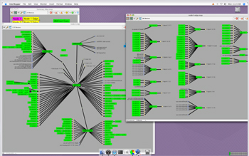
Most network professionals prefer to view their networks in a certain layout. With Intermapper, you can focus on creating a network diagram that makes sense to you... without the cumbersome job of manually documenting device information.
Intermapper does the heavy lifting by autodiscovering a certain range of IP addresses and populating your map. From there, our intuitive WYSIWYG map editor makes it easy to choose the design, icons, background images, and more that fit your needs.
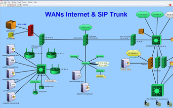
Network Maps from Real Intermapper Customers
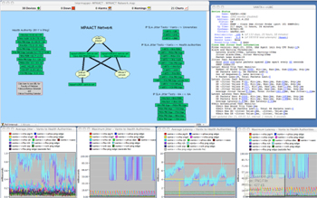
From Google Earth integration to office floorplans, check out how different users are customizing their maps with Intermapper.
Image
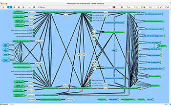
University of Rochester |
Image
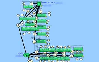
Mannheim School District |
Image
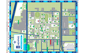
University of Memphis |
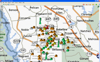
Image
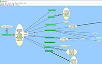
Magnolia School District |
Image
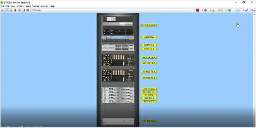
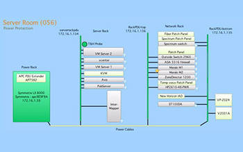
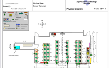
Map displaying details of racks to monitor devices within. | |
Image
Glenbard District 87 |
Image
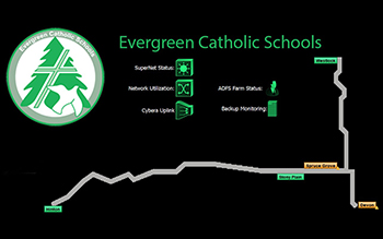
Evergreen Catholic School Division |
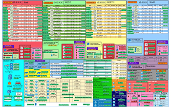
Image
Educational Institution Map |
Image
Educational Institution Map |
Image
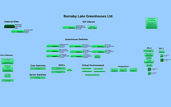
Burnaby Lake Greenhouse Ltd. |
Image
American Antiquarian Association |
Image
Borderland SD |
Image
EZ Net LA |
Image
Skidmore College |
Image
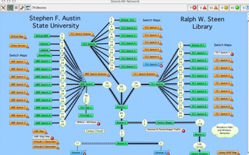
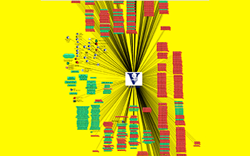
Stephen F. Austin State University |
Image

Sun Microsystems |
Image
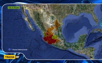
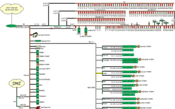
Tracsa Map Status Probe |
Image

Mt. Lehman Credit Union |
Image
University of Colorado |
Image
University of Illinois |
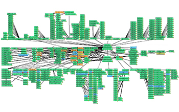
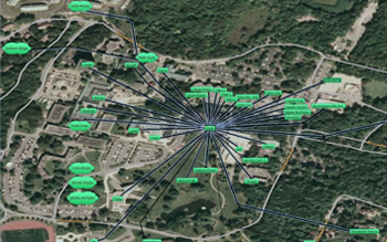
Image
University of British Columbia Videoconferencing Network |
Image
Enid Public Schools |
Image
Gold Corp - Canada |
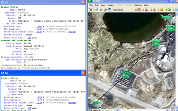
Image
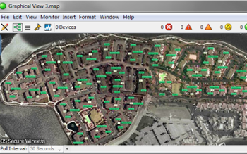
OS Secure Wireless |
Image
Pima College |
Image
Mutanda Mining |
Image
Mutanda Mining |
Image
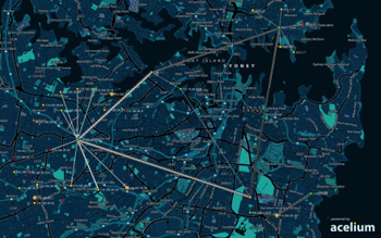
Acelium map of Sydney | Image

Clock Medical Supply |